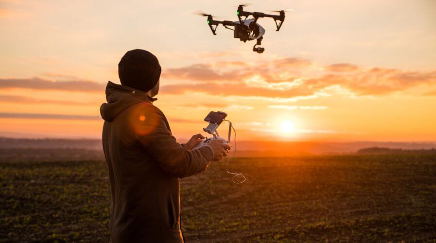
What businesses need to know about drone data. Source: Shutterstock
What businesses need to know about drone data
THE unmanned aerial vehicle (UAV) market is projected to reach US$2.05 billion by 2023. The technology is definitely going places, but is it really useful to businesses?
Initially, drones were only used by the military. Now, it captures, stores, and transmits data for business users as well.
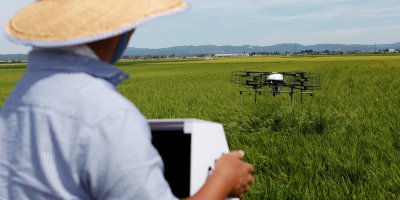
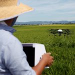
Technological advancements have enabled precision measurement via data collection and visualization. This has proved to be most valuable to the construction and agriculture industries.
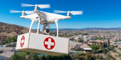
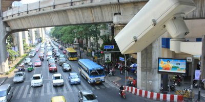
Other industries that would use UAVs are transportation, security, media, insurance, telecommunications, and mining.
Besides audiovisuals in images and video format, drones are also able to collect data of emission gases, radio signals, and geographical data.
Though, business users need to first know the type of drone data that would add value to their operations. Here’s a simple explanation:
An orthomosaic is a composite picture that is made up of a series of individual drone-captured aerial photographers stitched together. The composite picture would have been geometrically corrected through marked key points.
Orthomosaic information is useful to agriculturists as it helps with precision farming. It can inform farmers of visible crop impact, deeper yield understanding, and subsequently, more efficient output.
Thermography (or thermal imaging) is a radiation-sensitive video process. It is able to detect heat patterns using infrared.
For commercial drone use, think medical scans, but for construction sites and maintenance operations. Thermography can resolve surveillance issues that large infrastructures would have.
Photogrammetry uses photography to extract measurements of the environment via overlapping images. This makes it possible to calculate distance and volume measurements.
This method of measuring could be used in logistics planning businesses.
There’s also LiDAR which is short for ‘Light Detection and Ranging’.
This technology uses light in the form of pulsed lasers to measure ranges. Together with airborne drone data collected, LiDAR is able to generate three-dimensional information about the shapes and textures.
Its accuracy makes it popular with construction engineers. However, the millimeters-close drone data translates into large files. Simple project datasets could amount up to 2 terabytes.

Last but not least, we have the most common type of drone data – video. Although common and can be applied across all industries, videos are the most complex.
A video file would usually consist of codes for both audio and visual which can be extracted individually. Video files would also hold data such as synchronization information and metadata such as geolocation and directional data.
These data are encoded in each frame.
In a one-minute video at 30 frames per second, we would have 1,800 fragments of frame data to go through for analysis. This is what makes video drone data complex.
All the details could be overwhelming and sound tedious. But understanding what each type of drone data is and how they can be incorporated into your operations is crucial.
Employing the right use of technology and applying the right analytics could save your business a lot of resources.
Michelle Chan is a technology journalist covering the intersections of business and technology, and how they impact the future of enterprises.
READ MORE
- The criticality of endpoint management in cybersecurity and operations
- Ethical AI: The renewed importance of safeguarding data and customer privacy in Generative AI applications
- How Japan balances AI-driven opportunities with cybersecurity needs
- Deploying SASE: Benchmarking your approach
- Insurance everywhere all at once: the digital transformation of the APAC insurance industry