(Source – Shutterstock)
AWS picks GrabMaps to power location-based services for Southeast Asia customers
When Grab launched GrabMaps back in June 2022, the service was first developed for in-house use. However, with mapping and location-based services in Southeast Asia providing a US$1 billion market opportunity, GrabMaps soon became an enterprise service.
At the time of the launch, GrabMaps provided location-based intelligence and services to 7 out of the 8 countries in which it operates. When the enterprise service became fully self-sufficient, GrabMaps was offered as a B2B solution.


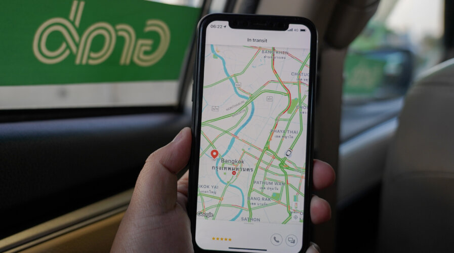
Now, GrabMaps has become a data provider for Amazon Location Service, an AWS location-based service that is designed to help developers easily and securely add maps, points of interest, geocoding, routing, tracking, and geofencing to their applications.
AWS customers, leveraging Amazon Location Service, will have access to high-quality regional mapping data that includes over 50 million addresses and points of interest (POIs) from GrabMaps spanning Singapore, Cambodia, Vietnam, Philippines, Indonesia, Malaysia, Myanmar, and Thailand. Customers can also leverage Grab’s hyperlocal search and routing functionality tailored to the region’s unique attributes, from its small alleyways and subdivisions to hard-to-find places.
With this collaboration, developers and teams using Amazon Location Service can enhance or build their own location-enabled applications using GrabMaps. AWS customers can also display their desired data on local maps that are up-to-date, and use search boxes that accurately locate end-user addresses and POIs.
At the same time, customers can also add route planning and optimization capabilities to their apps, drawing on GrabMaps’ up-to-date road network and traffic information. Users can calculate the fastest routes and provide accurate estimated arrival times, factoring in parameters such as modes of transport, real-time traffic conditions, departure timing and more, and with options to avoid tolls, ferry routes or highways.
(Source – Grab)
According to Philipp Kandal, Chief Product Officer at Grab, GrabMaps offers a unique view of Southeast Asia, with data and functionality that is exceptional in freshness, coverage and accuracy.
“We are excited to collaborate with AWS’s world-class infrastructure to share our capabilities with other companies, and help them build services and applications that we hope will better serve Southeast Asians,” said Kandal.
For Conor McNamara, Managing Director in ASEAN for AWS, with the rapid rise of the region’s digital economy, having access to accurate and cost-effective mapping data is critical to efficient operations, especially in the e-commerce, transportation, and logistics sectors.
“The integration of GrabMaps into Amazon Location Service now provides hyper-localized and up-to-date mapping data across Southeast Asia for AWS customers and their end users,” added McNamara.
Amazon Location Service is a location-based service that helps developers easily and securely add maps, points of interest, geocoding, routing, tracking, and geofencing to their applications without compromising on data quality, user privacy, or cost. With Amazon Location Service, users retain control of their location data, protecting their privacy and reducing enterprise security risks. Amazon Location Service provides a consistent API across a range of location-based service data providers (Esri, HERE, Open Data Maps, and GrabMaps), all managed through one AWS console.
GrabMaps is built on the principles of community-based mapping, making the service highly cost-effective while offering high-quality mapping data. It leverages Grab’s extensive network of consumers, merchants, and driver and delivery partners, extracting and refreshing mapping data on a daily basis from millions of orders and rides, with real-time feedback from partners on road closures, business address changes and more.
GrabMaps powers over 800 billion API calls per month across a variety of services encompassing places search, dispatch, ETA calculations, routing, navigation and more. It has helped add more than 800,000 kilometers of missing roads to the OpenStreetMap.
READ MORE
- The criticality of endpoint management in cybersecurity and operations
- Ethical AI: The renewed importance of safeguarding data and customer privacy in Generative AI applications
- How Japan balances AI-driven opportunities with cybersecurity needs
- Deploying SASE: Benchmarking your approach
- Insurance everywhere all at once: the digital transformation of the APAC insurance industry